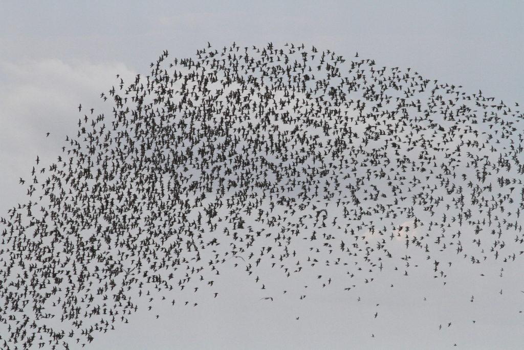
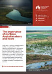
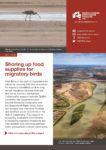
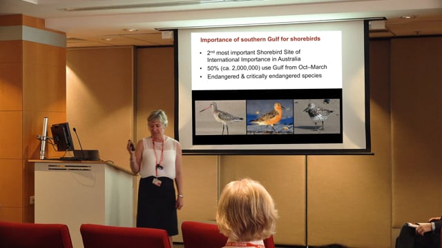
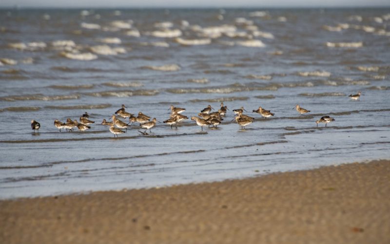
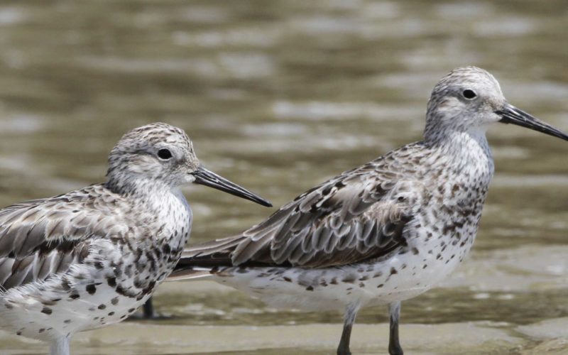
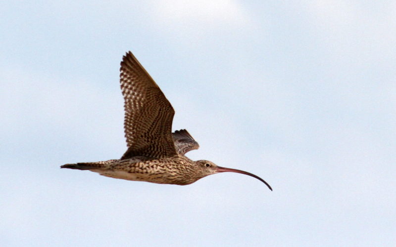
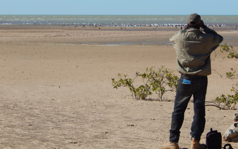
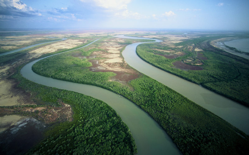
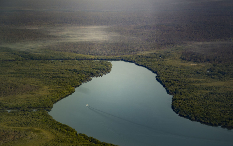
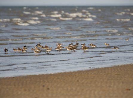
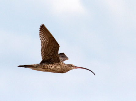
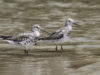
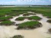
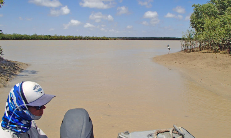
Migratory shorebirds travel thousands of kilometres, from as far away as Siberia, before arriving at sites in the southern Gulf of Carpentaria. Our research has shown that the shorebirds aren’t stopping in the Gulf just because it’s convenient – the area also provides a vital place to feed and recharge after their long migration and some stay here for the whole summer. From spring to autumn, shorebirds use the intertidal mudflats and sandflats for feeding on the invertebrates that live in these environments.
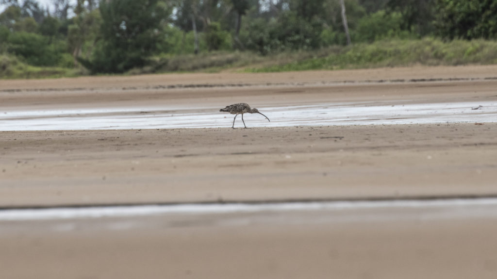
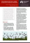
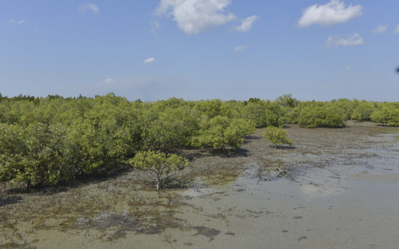
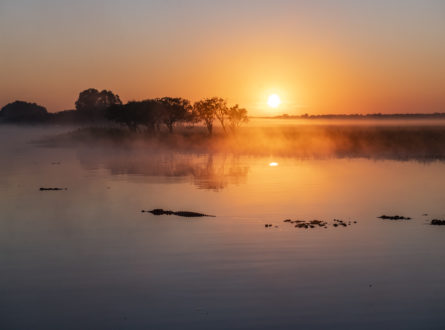
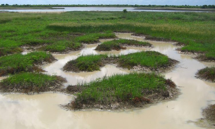
The intertidal flats of the Gulf of Carpentaria are a rich source of food for migratory shorebirds.
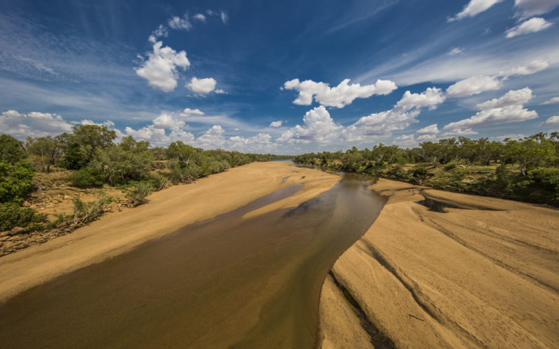
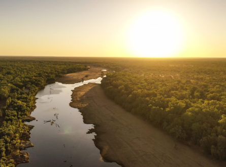
The Queensland Government has identified three river systems – the Flinders, Gilbert and Mitchell rivers in the south-eastern Gulf of Carpentaria region – where water extraction for irrigated agriculture is already occurring and is likely to increase. Future decisions about water allocation and management should include improved knowledge about the contribution of these river flows to the Gulf resources needed by iconic and threatened species such as migratory shorebirds. Safeguarding the availability of these resources will help to ensure Australia continues to meet its international obligations to protect migratory shorebirds that use the East Asian–Australasian Flyway, which connects Australia to the birds’ breeding grounds in Russia and Alaska.
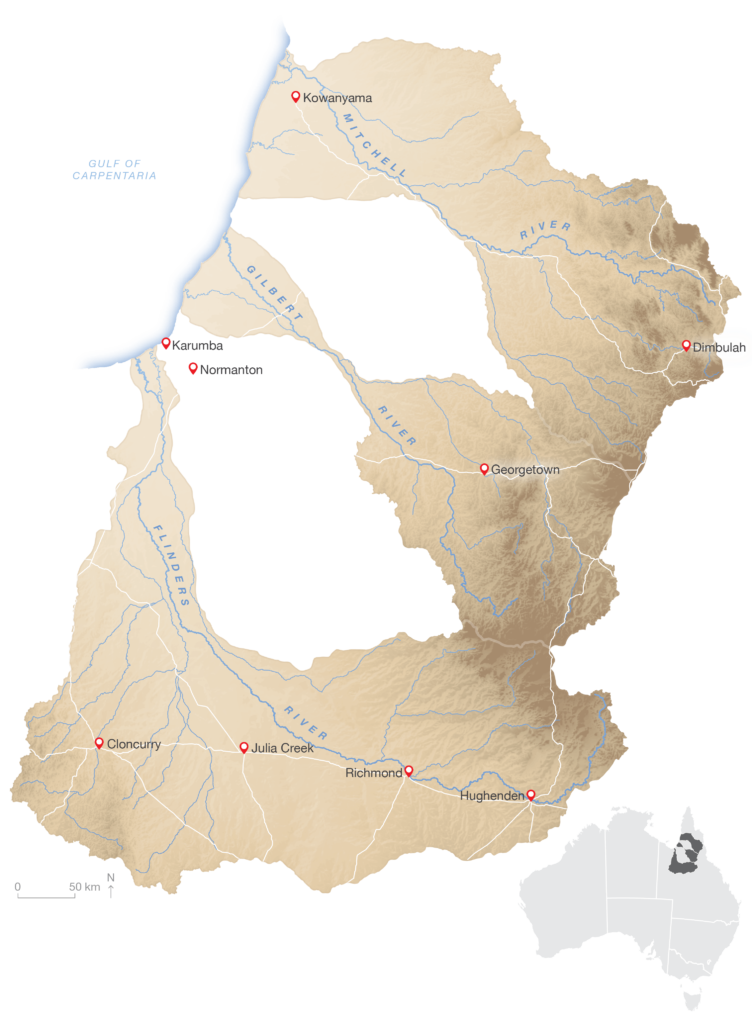
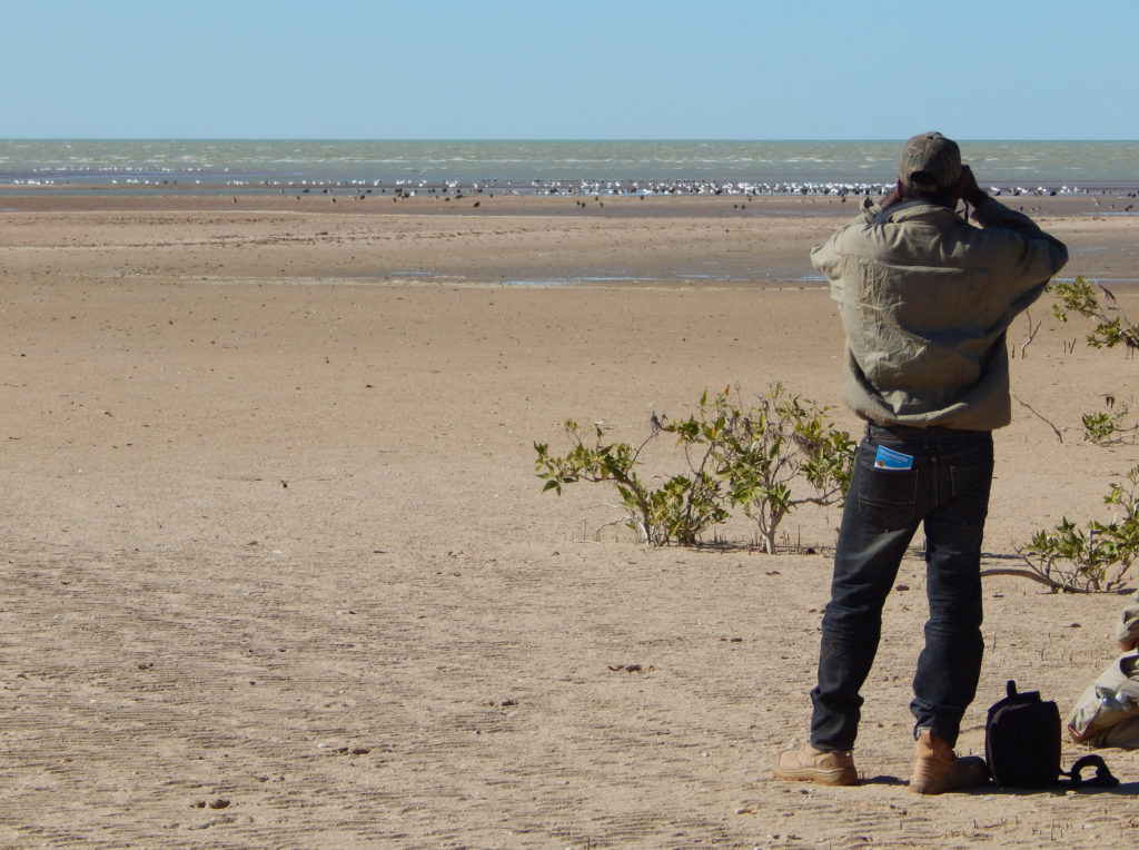
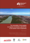
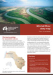
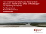
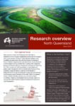
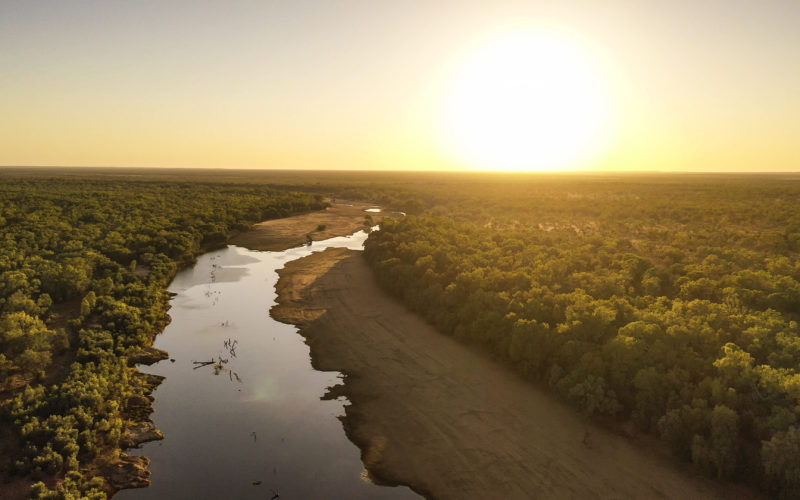
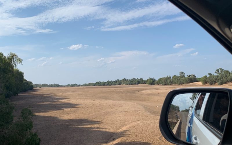
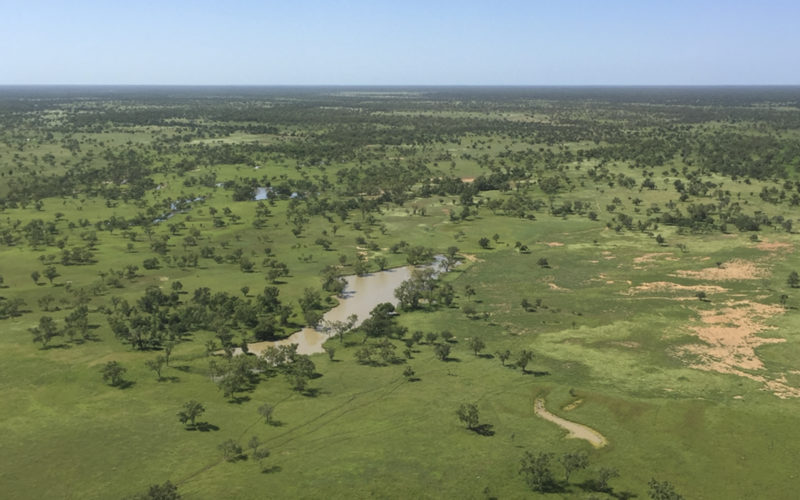
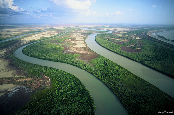
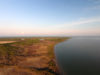
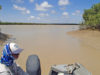
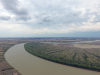
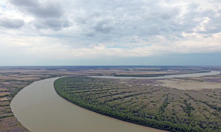
This research took place in the Mitchell, Gilbert and Flinders rivers in the south-eastern Gulf of Carpentaria.
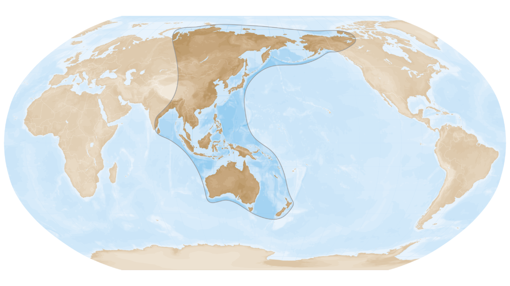
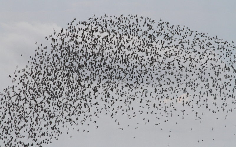
Each year, millions of shorebirds fly along the East Asian–Australasian Flyway which connects their breeding grounds in the northern hemisphere with their feeding grounds in the southern hemisphere summer.
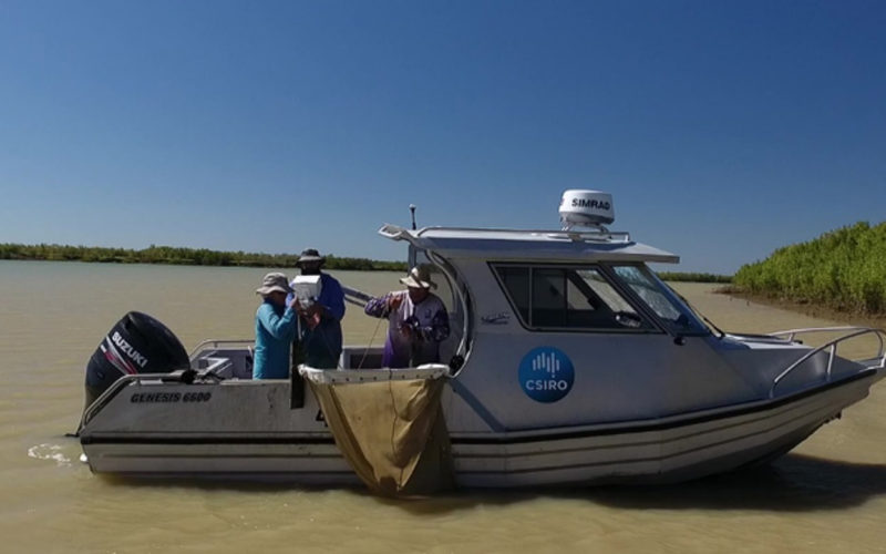
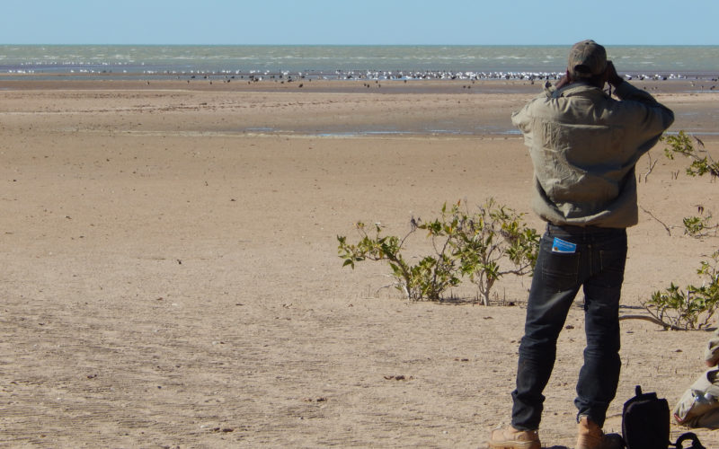
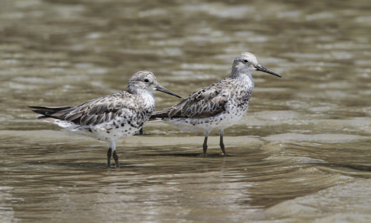
Previously, we knew little about the numbers and species of shorebirds using the estuaries of these three rivers in the Gulf of Carpentaria, and the quantity and type of food they eat. Shorebirds probe the sediments of the sand and mud flats for food including worms and bivalve molluscs such as clams and pipis, collectively known as the macrobenthos. This project examined links between freshwater flows and the productivity of Gulf estuaries and coasts to understand how flows impact the food supply for migratory shorebirds in these environments.
The project characterised shorebirds and their food sources (quantity and type) in the south-eastern Gulf of Carpentaria by:
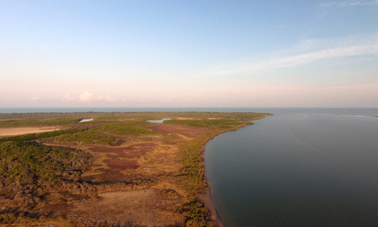
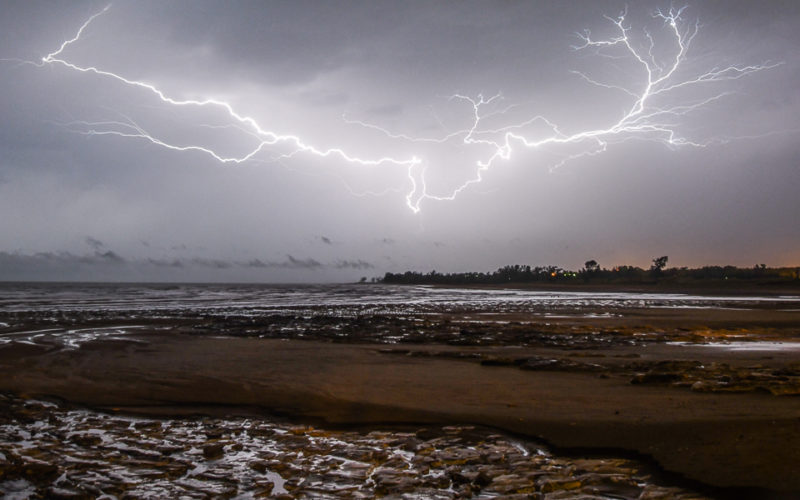
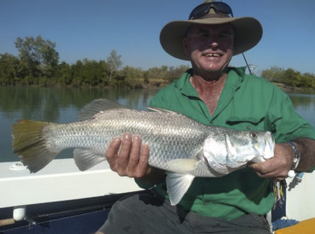
Hub research in the Gulf of Carpentaria aims to support sustainable development in the region. This includes research to inform water allocation planners and floodplain managers about the potential impacts of changes in flow on fisheries, migratory birds and biodiversity. Rivers that flow into the southern Gulf of Carpentaria are home to high-value ecosystems and support important recreational and commercial fisheries. With increasing development in the region, more information is needed to understand how future water development will impact on the health and productivity of floodplains and coastal areas.
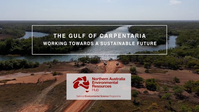
The Northern Australia Environmental Resources Hub addressed key research questions to come up with practical, on-ground solutions to some of the north’s most complex environmental challenges. A transdisciplinary research approach has been at the heart of the hub. Integrating key research users – policy-makers and land managers including Traditional Owners and ranger groups – into the co-design of research projects has led to rapid uptake of research outcomes into land management practices and decision-making. The hub has produced this wrap-up video outlining these impacts from the perspectives of research users.
River flows in the Gulf of Carpentaria are critical for ensuring that food is available for migratory shorebirds on their way into and out of Australia. Professor Michele Burford has been leading collaborative research between Griffith University, the Carpentaria Land Council Aboriginal Corporation and the Queensland Wader Study Group that has investigated the links between river flows and food for shorebirds.
Did you know Gulf of Carpentaria coasts are critically important habitat for migratory shorebirds? These birds fly to Australia from as far away as Alaska every year, and rely on the worms, crabs, clams and other food of the Gulf mudflats and sandflats to fatten up for their journey. This collaboration between Carpentaria Land Council Aboriginal Corporation and Griffith University is showing just how important the Gulf is for these long-distance fliers.

Mike Venarsky presents at the December 2018 DES (Qld) Workshop about the community-level migration patterns of fish in the Mitchell River and some of its tributaries.

David Crook discusses how otolith chemistry can help explain and document fish life history.
Glenn McGregor presents on how environmental assessments contribute to the evaluation of Water Plans in Queensland at a DES Workshop from December 2018.
Jonathan Marshall explains how paleo-ecological tracers can help understand past ecosystem variability to predict and manage now and into the future.
This project is being led by Professor Michele Burford at Griffith University and assisted by researchers and collaborators from the Department of Environment and Science (Queensland), Carpentaria Land Council Aboriginal Corporation, Queensland Wader Study Group and Roger Jaensch, Jaensch Ornithology and Conservation.
This project was completed in June 2021.
Contact
Michele Burford, Griffith University
m.burford@griffith.edu.au
(07) 3735 6723
![]()
![]()