24 June 2020
In the Gulf of Carpentaria, wet season floods replenish river channels and floodplain wetlands, and kickstart the growth of algae and other aquatic vegetation that form the base of aquatic food webs.
Ensuring environmentally sustainable development of the Gulf’s water resources requires an understanding of how proposed water extraction will affect the productivity of floodplain habitats.
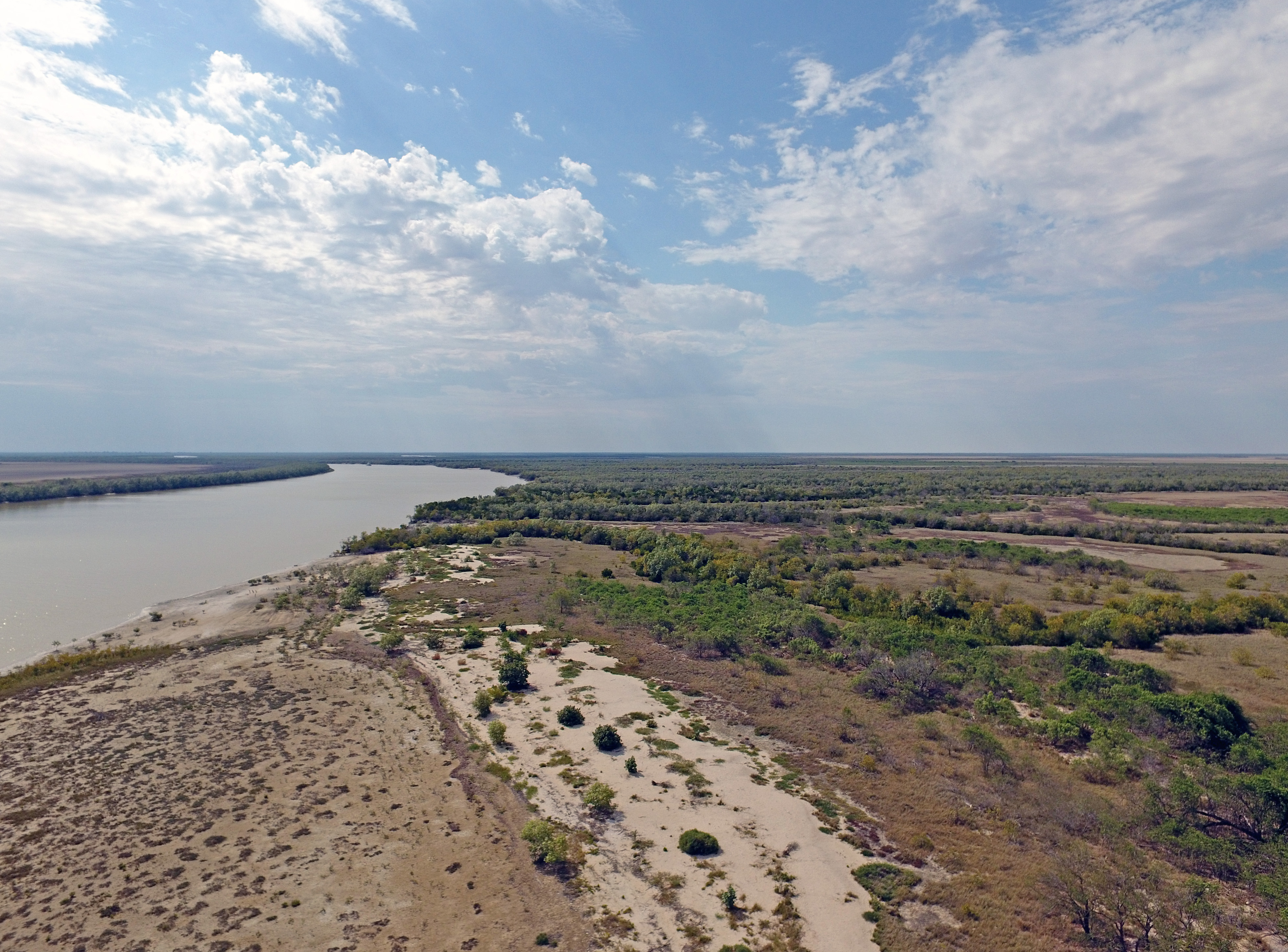
Gilbert River in the Gulf of Carpentaria, photo Stephen Faggotter.
In new research published in Ecological Indicators, Hub researchers used remotely sensed data to trace how floodwaters create ‘hotspots’ of aquatic plant growth on the Gilbert River’s floodplains. They found that while both river flows and local rainfall contribute to floodplain inundation, river flows were a better indicator of floodplain productivity.
Water infrastructure that reduces river flows from the Gilbert’s upstream catchment may reduce floodplain inundation in the lower catchment, leading to a loss of productivity in the wetland ecosystems that support freshwater fish, such as juvenile barramundi.
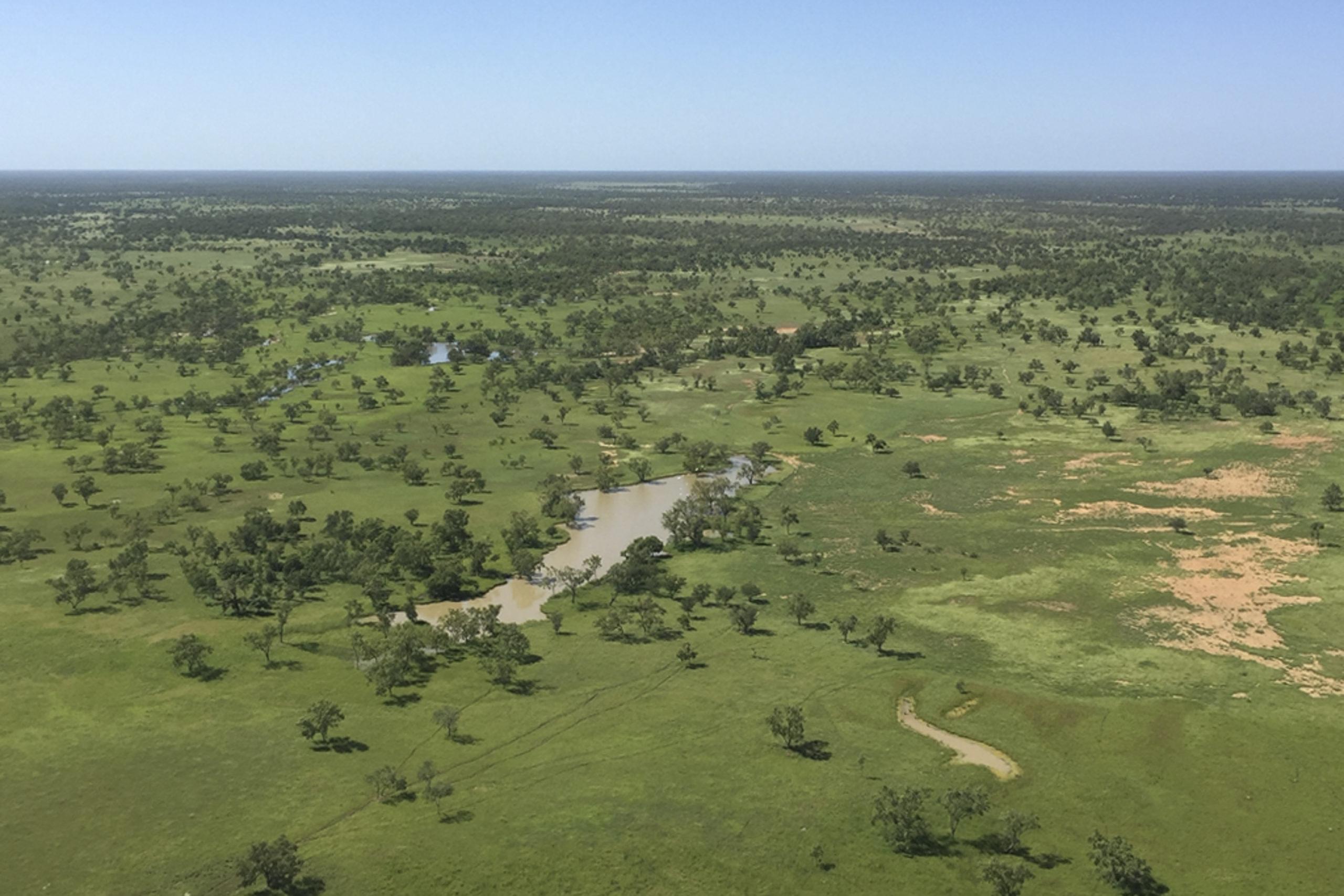
Gilbert River floodplain waterhole, photo Michele Burford.
Read the final report here.
This research is part of a larger project on the links between Gulf rivers and coastal productivity, led by Professor Michele Burford of Griffith University.
Want to know more about the Resilient Landscapes Hub's activities and our research into practical solutions to environmental problems? Stay informed about activities, research, publications, events and more through the Hub newsletter.