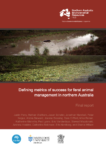
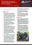
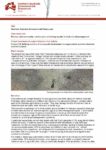
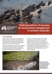
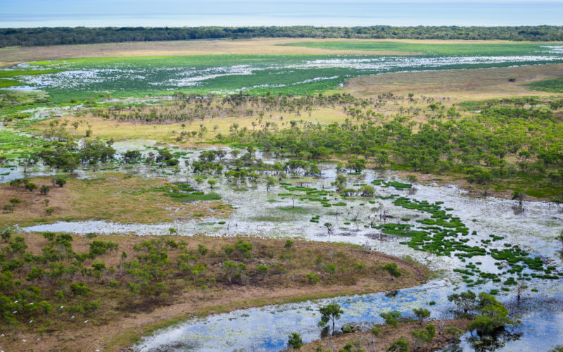
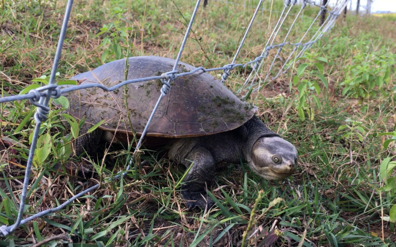
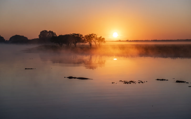
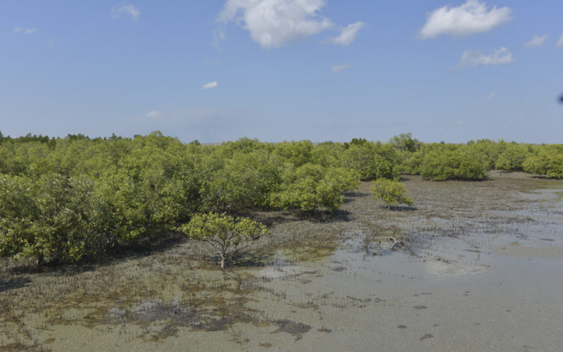
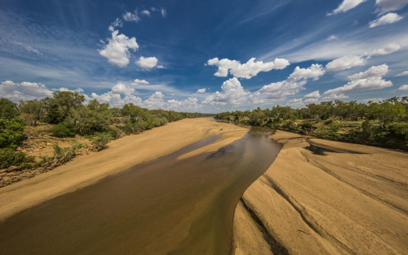
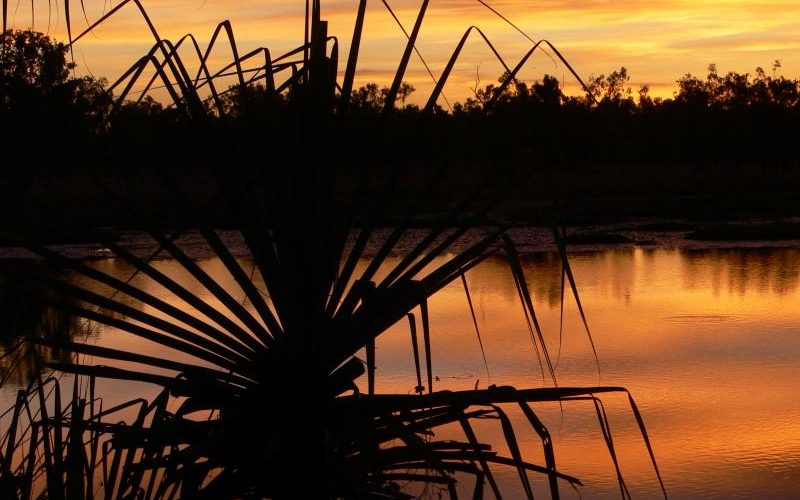
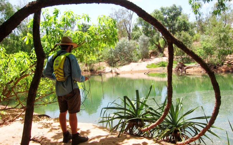
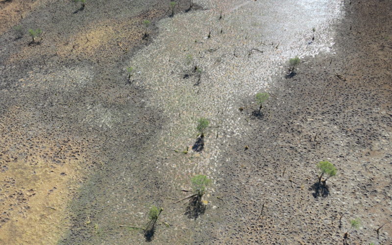
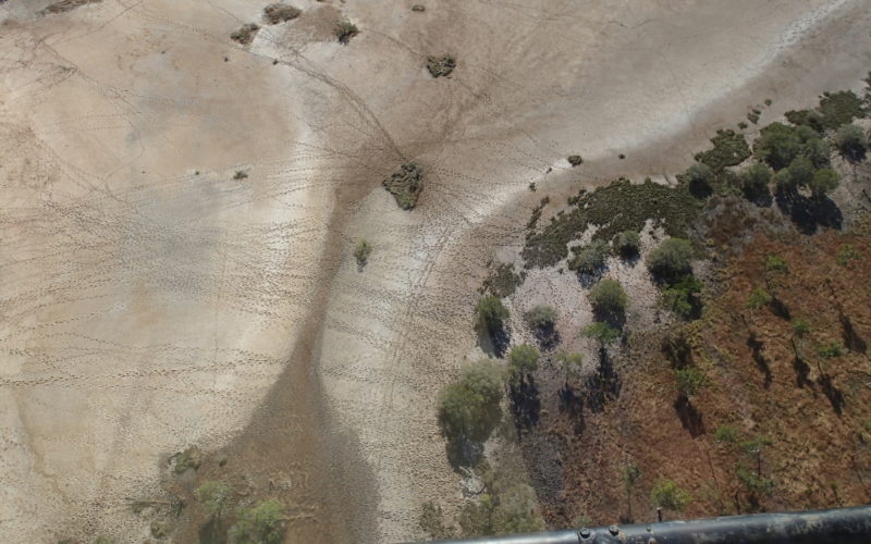
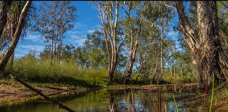
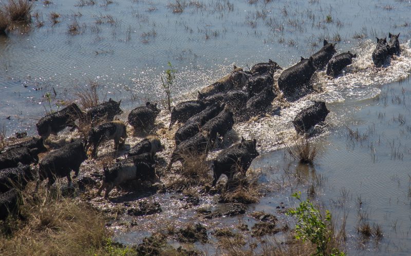
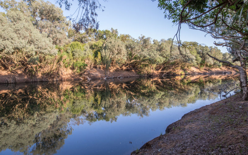
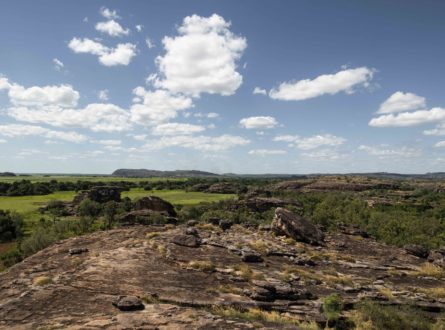
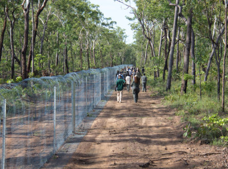
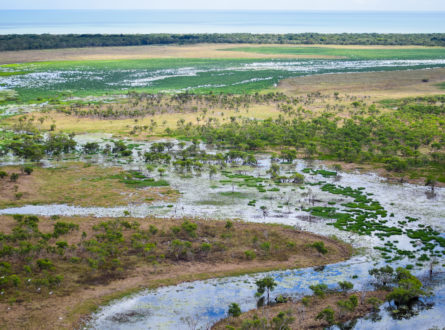
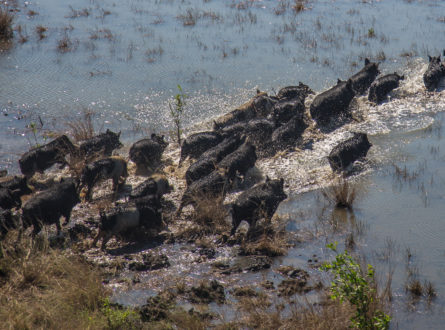
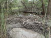
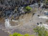
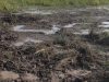
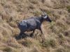
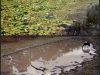
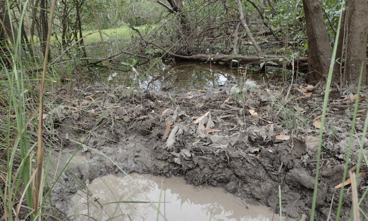
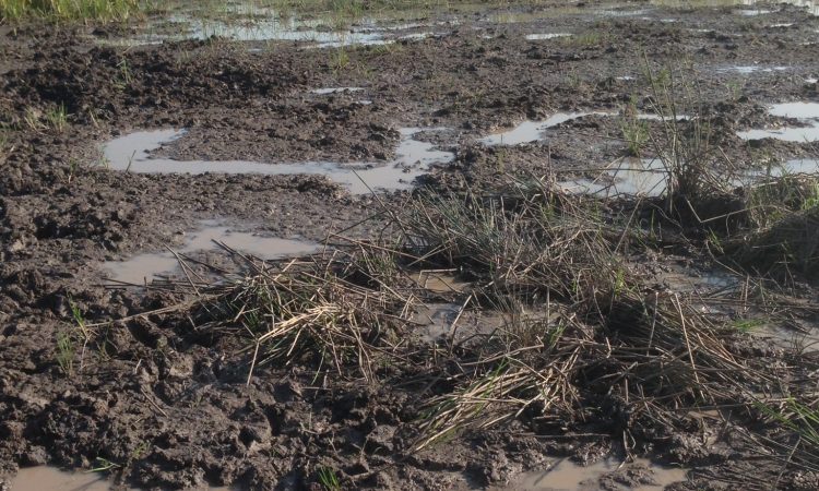
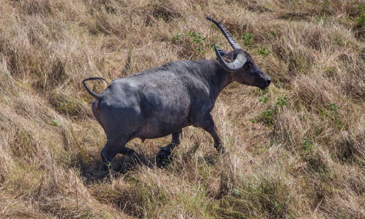
In northern Australia, there is growing recognition of the importance of wetlands to biodiversity and ecosystem health, along with their cultural value to Indigenous communities. Feral pigs and cattle pose significant threats to wetland system ecology and biodiversity through negative impacts on wetland vegetation assemblages, biological communities and water quality.
In this project, we quantified the impact of feral species on wetland condition, the effectiveness of control measures on mitigating the threats to aquatic systems, and the subsequent impact on cultural wetland values. To do this, we defined, evaluated and calibrated metrics used to describe the impacts.
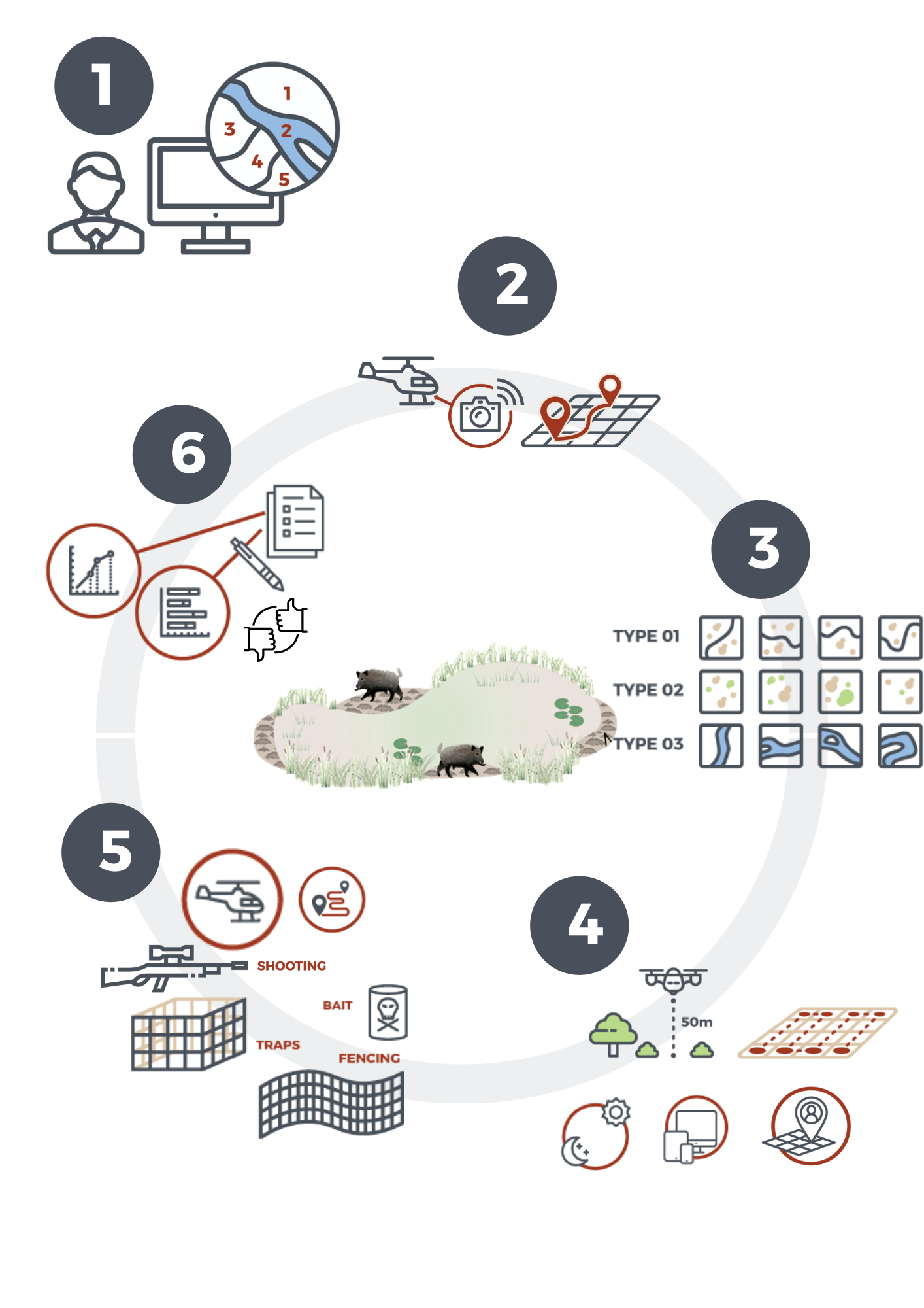
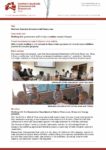
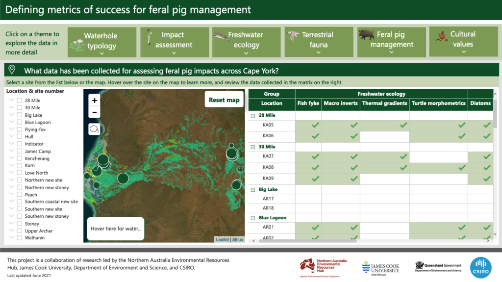
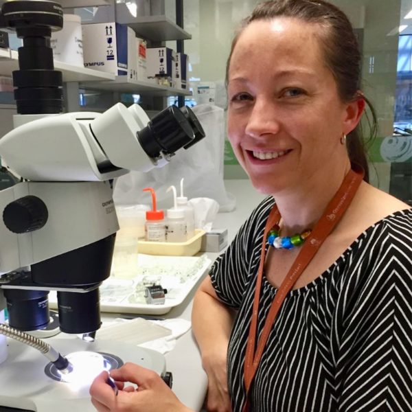
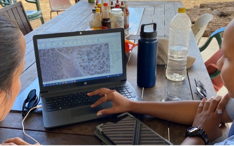
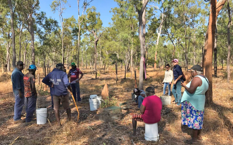
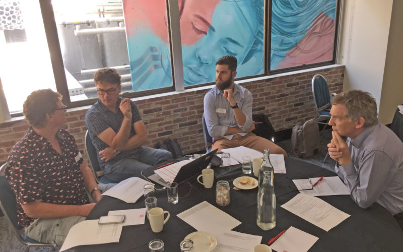
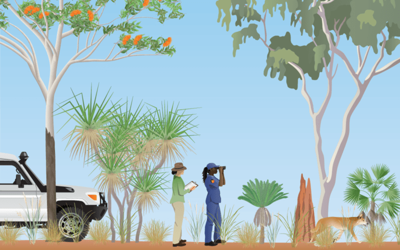
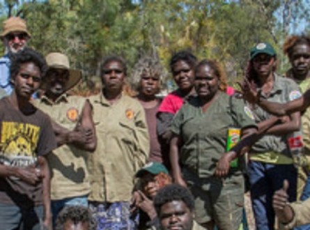
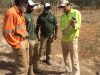
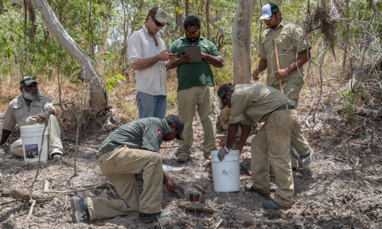
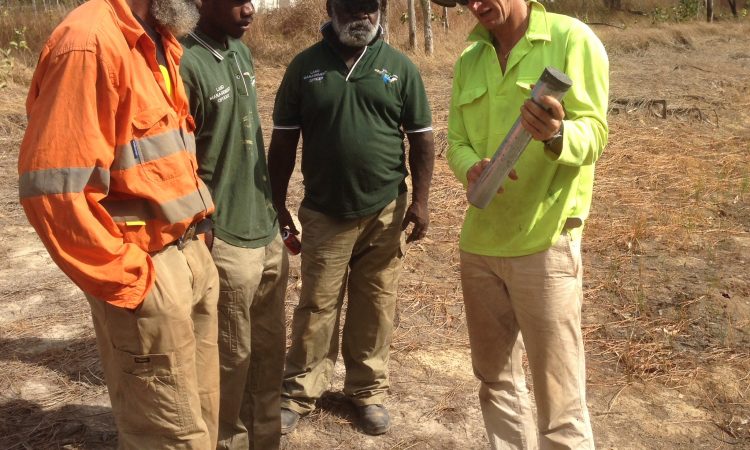
To capture the complexity of metrics that describe both biophysical and cultural impacts of feral pig management, a collaborative team of ecologists, human geographers, Traditional Owners and land managers developed an integrated monitoring and reporting framework to monitor and report on wetland biophysical values with cultural ecosystem services research. The framework, which strongly emphasises embedding cultural values and supporting Indigenous-led management and planning, enables the comparison of investment in control, with consequent impacts on environmental values.
The project had five general components:
Project outputs can be used by land managers to identify priority wetlands for targeted management while providing a means to evaluate the impact of current feral species management. The monitoring methodologies are replicable and allow land managers to review change over time. The establishment of new wetland typologies supersedes old typologies that didn’t support the modelling of feral pig data and omitted cultural values. Cost–benefit analysis of select control methods for feral pigs enables the comparison of investment against impacts, supporting better future decision making for land managers.
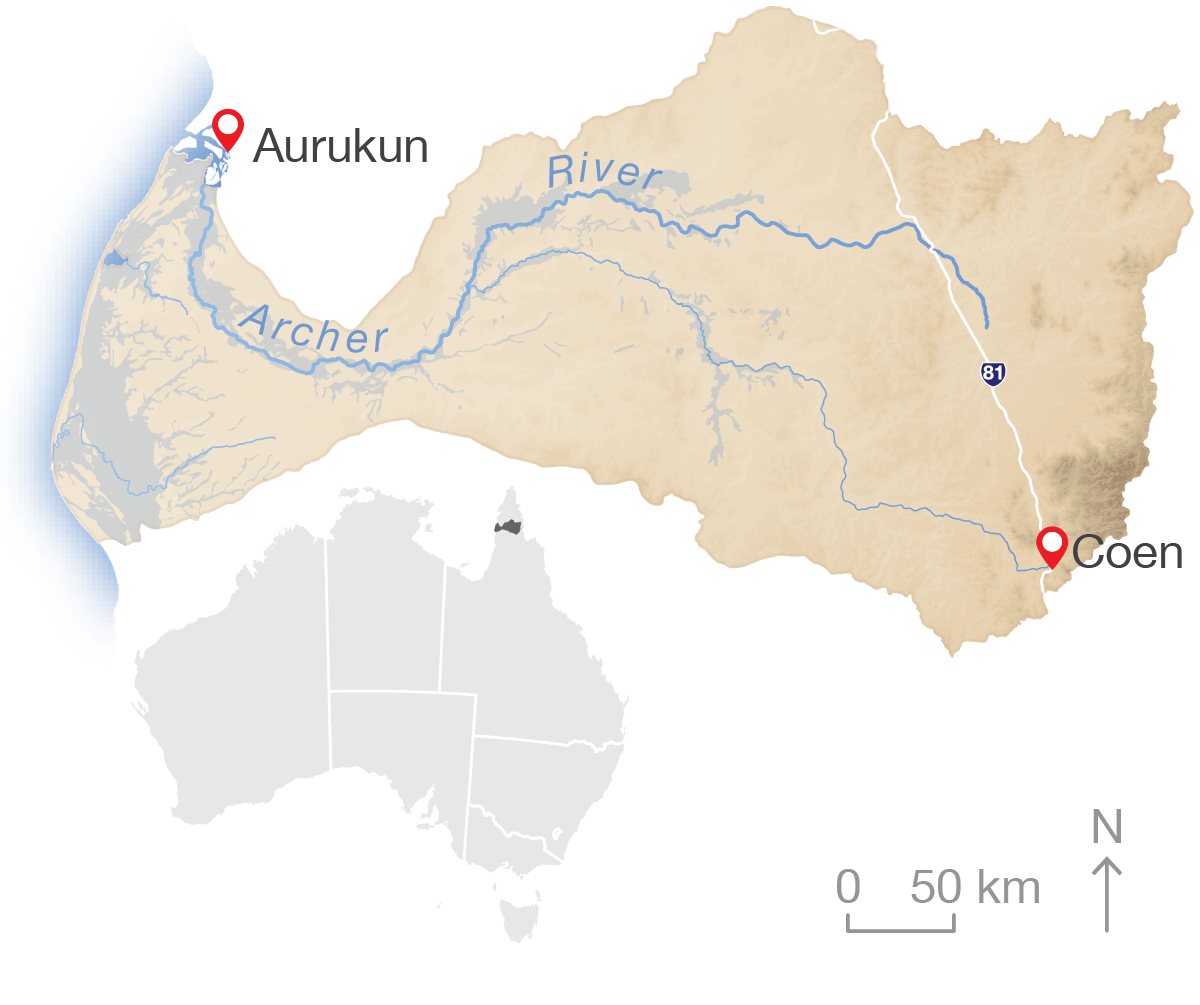
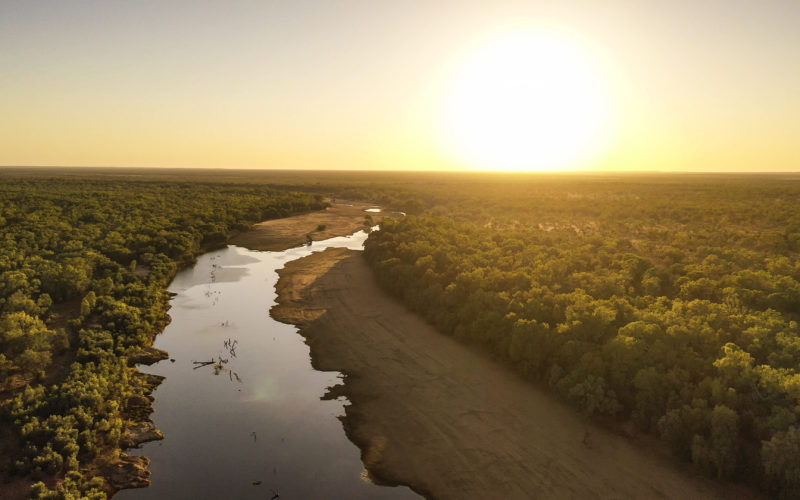
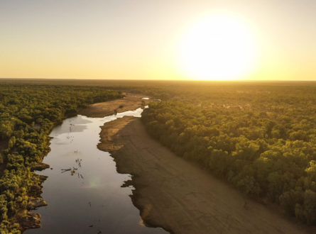
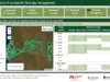
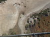
This research took place in the Archer River basin in north Queensland but the adaptive management framework proposed here can be used across northern Australia.

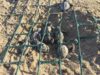
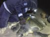

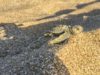
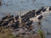

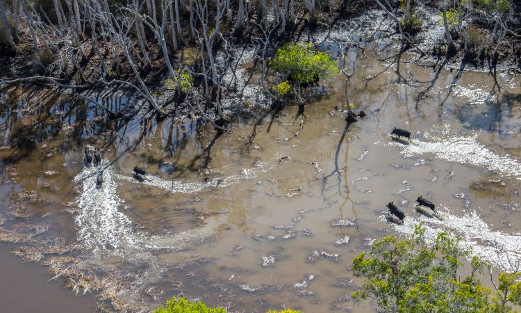
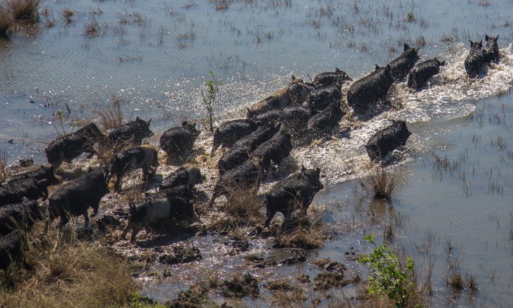
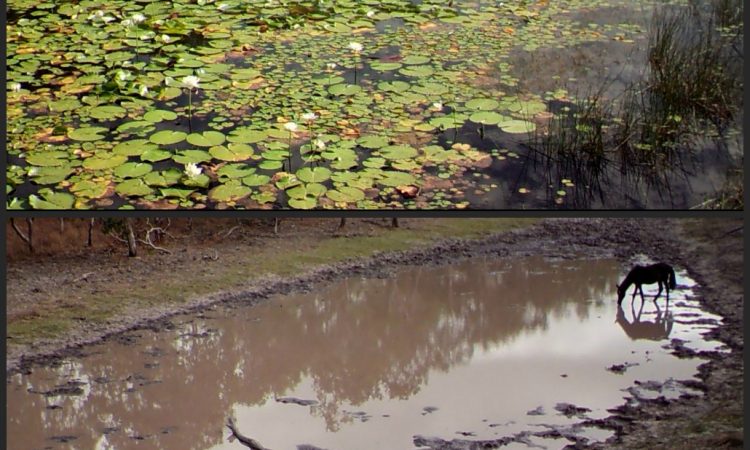
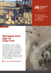
There are an estimated 24 million #FeralPigs in Australia, and despite best efforts, their populations continue to increase & leave #wetland destruction in their wake. This video discusses specific wetland impacts and how on-ground efforts from organisations like Kalan Enterprises are addressing the problem.
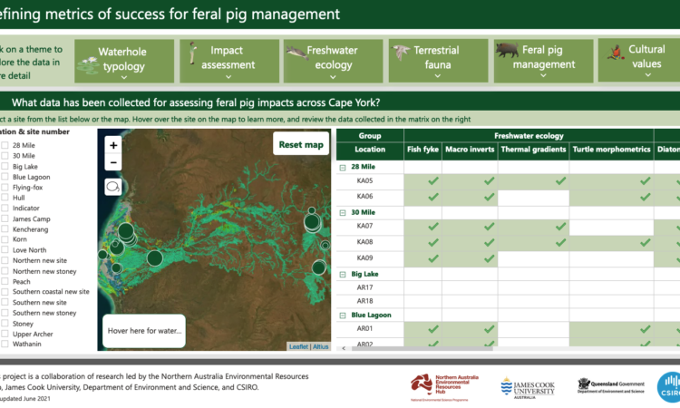
Queensland Environment had identified pig damage as a major wetland issue, but until this NESP Northern Hub project, impacts of pig damage on specific wetland types had not been quantified. To better understand pig preferences for different wetland types, this project also contributed to a wetland typology to distinguish one wetland type from another.
This project then quantified the impact of feral species on wetland condition, the effectiveness of control measures on mitigating the threats to aquatic systems, and the subsequent impact on cultural wetland values.
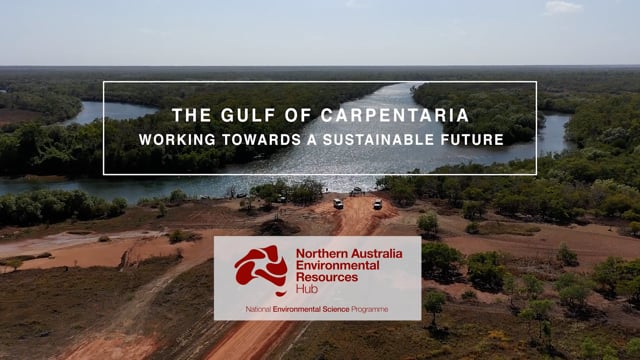
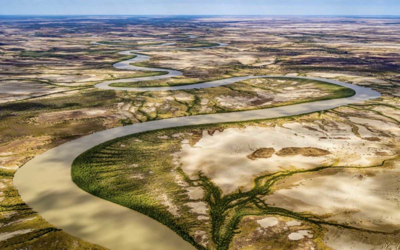
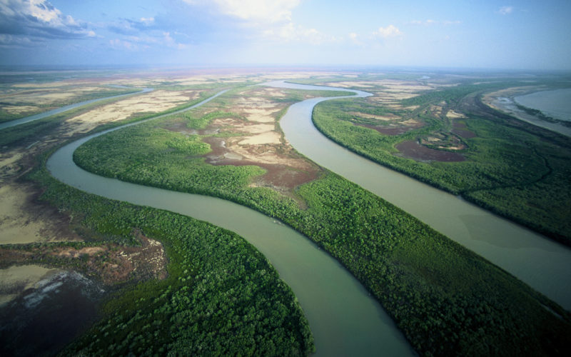
Hub research in the Gulf of Carpentaria aims to support sustainable development in the region. This includes research to inform water allocation planners and floodplain managers about the potential impacts of changes in flow on fisheries, migratory birds and biodiversity. Rivers that flow into the southern Gulf of Carpentaria are home to high-value ecosystems and support important recreational and commercial fisheries. With increasing development in the region, more information is needed to understand how future water development will impact on the health and productivity of floodplains and coastal areas.
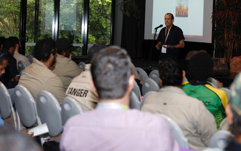
The Northern Australia Environmental Resources Hub addressed key research questions to come up with practical, on-ground solutions to some of the north’s most complex environmental challenges. A transdisciplinary research approach has been at the heart of the hub. Integrating key research users – policy-makers and land managers including Traditional Owners and ranger groups – into the co-design of research projects has led to rapid uptake of research outcomes into land management practices and decision-making. The hub has produced this wrap-up video outlining these impacts from the perspectives of research users.
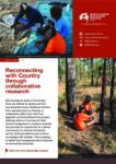
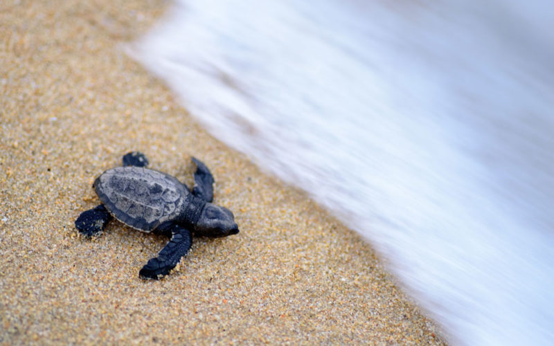
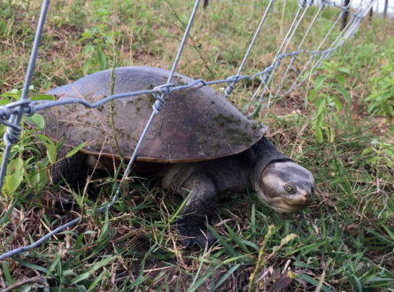
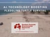
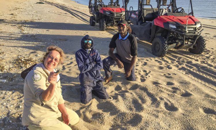
Indigenous people face many challenges in managing their lands, including rapidly growing threats causing species extinctions and ecosystem losses. In response, many Indigenous groups are looking for ethical ways to design and apply innovative technologies to solve complex environmental management problems—specifically, technology that can work with Indigenous people’s stewardship practices and knowledge.
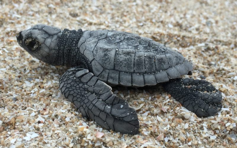
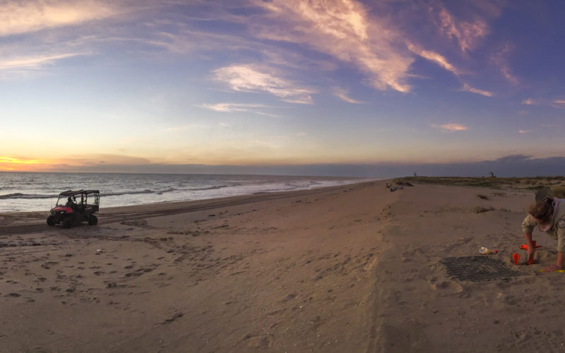
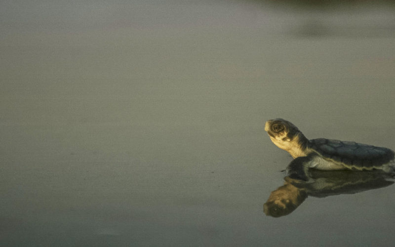
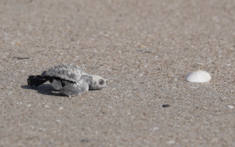
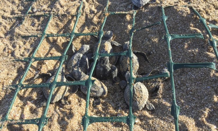
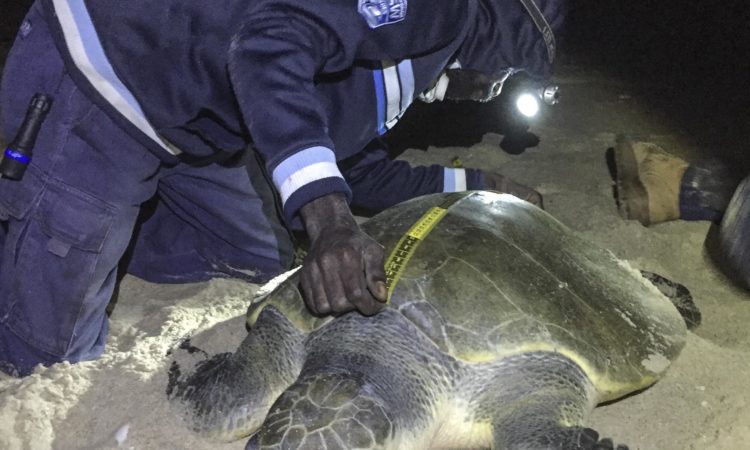
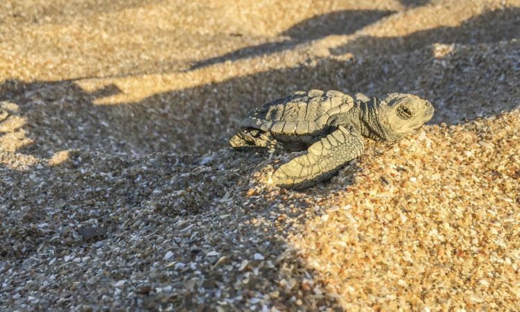
CSIRO scientists and Cape York Indigenous rangers have turned to technology to boost the survival rates of turtle hatchlings in Australia’s remote far north. Australian Government funding from the National Environmental Science Program (NESP) is supporting the r
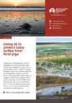
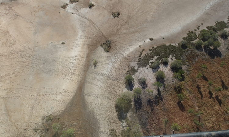
A world-first AI-infused cloud-based system that can quickly analyse thousands of aerial photographs of remote beaches in northern Australia to identify evidence of both turtle nests and their predators has been developed by CSIRO, Aak Puul Ngantam (APN) Cape York Indigenous rangers and Microsoft as part of a National Environmental Science Program (NESP) partnership.
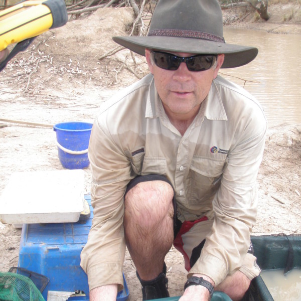
The project was led by Dr Justin Perry from CSIRO. Dr Perry was supported by researchers from CSIRO, James Cook University and the Queensland Government.
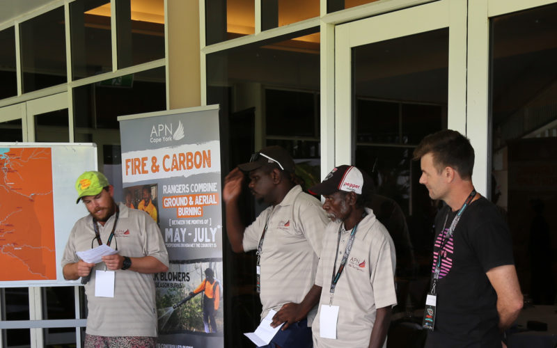
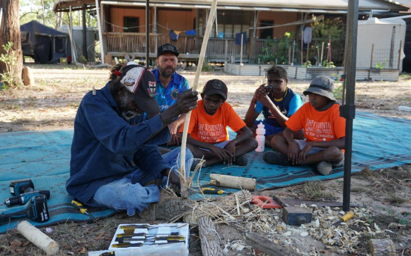
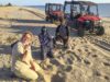
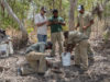
Kalan Enterprises, Aak Puul Ngantam (APN Cape York) and Balkanu were essential project collaborators on this project. They conducted extensive feral animal management activities in the region over two years as part of their funding through the Balkanu Feral Pig Management project, Nest To Ocean, Working On Country and Queensland Land and Sea Management funding.
This project was completed in June 2021.
Contact
Justin Perry, CSIRO
justin.perry@csiro.au
![]()
![]()
![]()