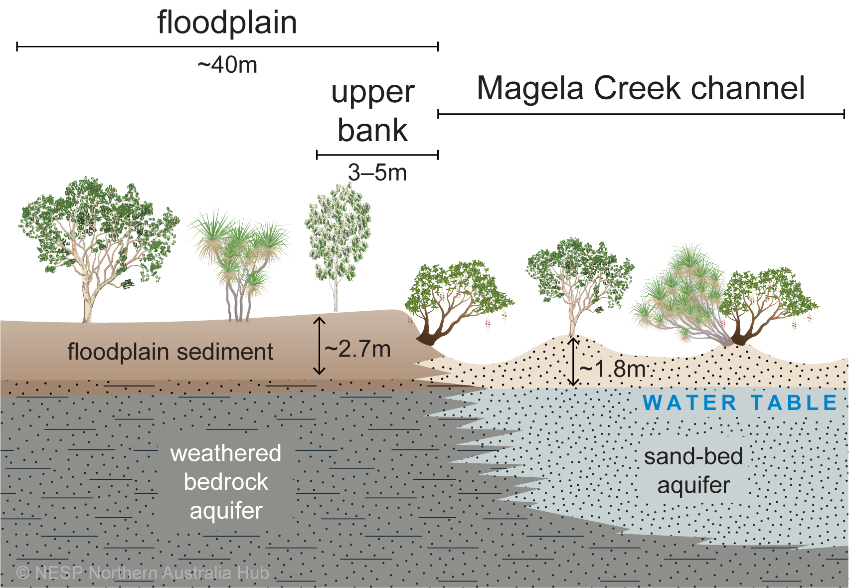
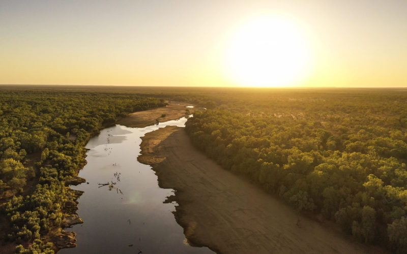
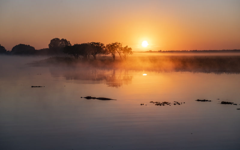
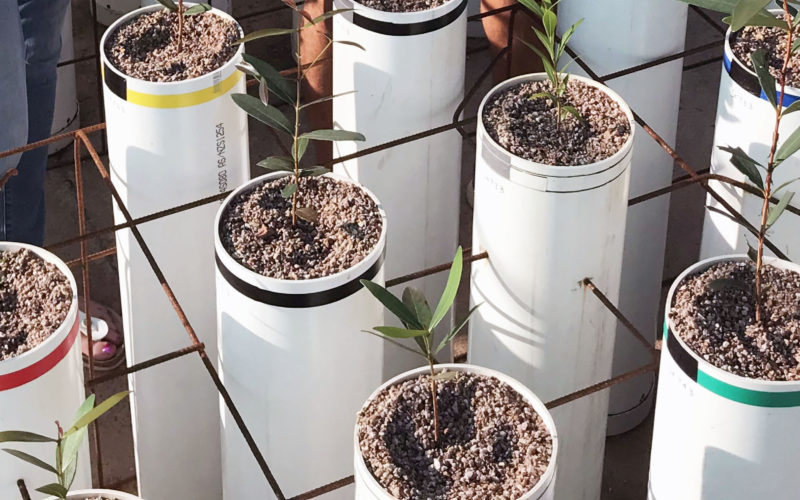
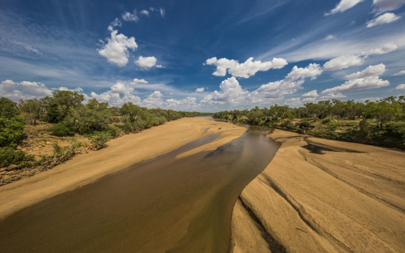
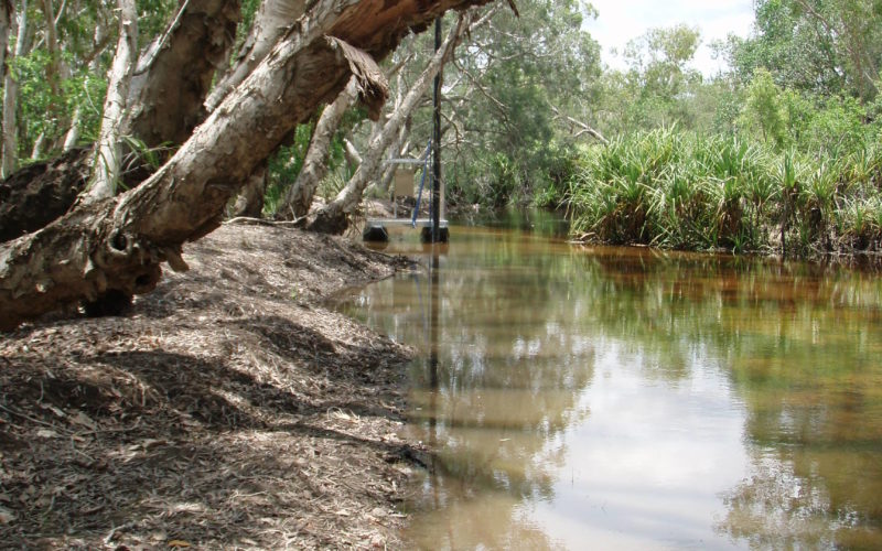
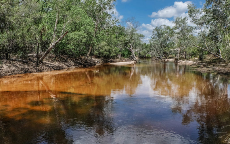
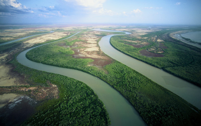
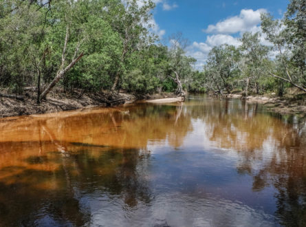
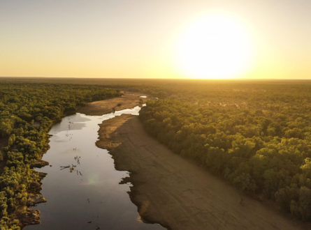
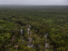
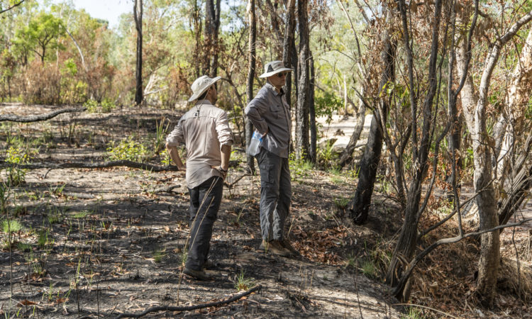
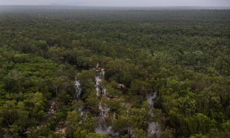
Ranger uranium mine is surrounded by Kakadu National Park. The mine has ceased operations and rehabilitation works are due to be completed by 2026. Spring-fed monsoon vine forests and riparian (riverbank) vegetation depend on soil and groundwater and provide essential habitat for the highly diverse aquatic ecosystems of the freshwater Magela Creek, which flows through the mine lease. Contamination of shallow groundwater with mine wastewater after rehabilitation of the site could have significant impact on this riparian vegetation and stream health.
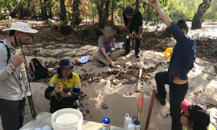
This study has improved the knowledge of how common woody riparian plants use and depend on groundwater, which will help predict impacts from contaminants and inform mine closure and monitoring.
The project:
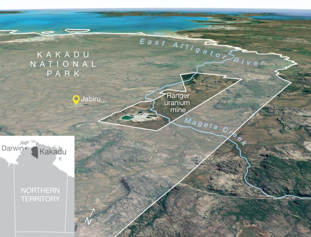
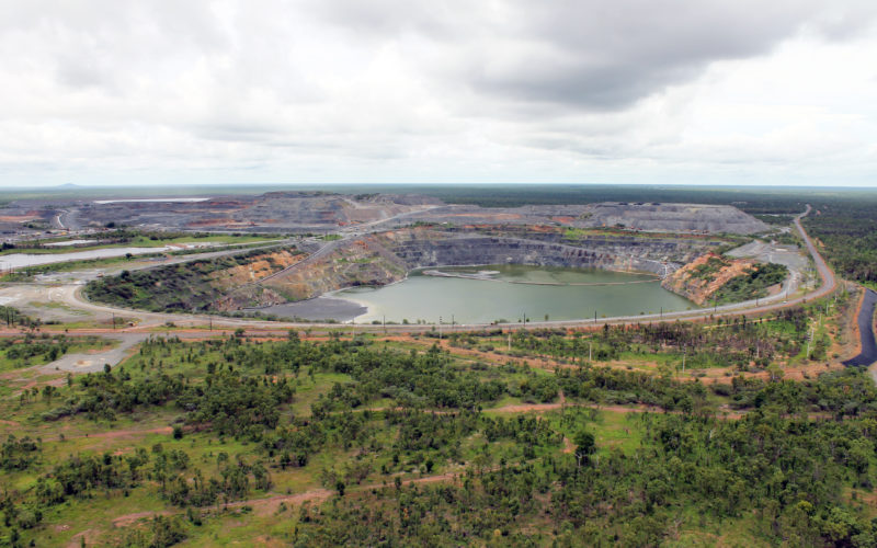
Location of Ranger uranium mine adjacent to Kakadu National Park.
Analysis of the different compositions of isotopes suggests that riparian trees along Magela Creek predominantly access shallow (~0.7–1.5 m deep) soil water sources. However, the origin of this shallow soil water could be either wet-season rainfall or capillary rise from the groundwater below. Aside from this shallow soil-water dominance, we found that trees located on the ridges, islands and lower banks of the creek channel also use shallow groundwater contained in the sand-bed aquifer, while some of the trees located on the floodplain (about 40 m away from the channel), use groundwater contained in the weathered bedrock aquifer.
The isotopes also point to the potential flow pathways within and between geological layers. There is no direct evidence for connectivity between the weathered bedrock and sand-bed aquifers, but the slope of the water table suggests that sub-surface flow from shallow parts of the weathered bedrock aquifer to the sand-bed area occurs during the wet season and as the flood flows recede. During the dry season, sideways connectivity is low as the creek ceases to flow and vertical groundwater flow becomes dominant.
Given the potential for the flow of contaminated groundwater from the weathered bedrock to the sand-bed aquifer during the wetter months, risk may be high for trees located in and closer to the channel (i.e. on ridges, islands and lower banks) due to their potential use of contaminated water present in the sand-bed aquifer and the soils that sit above the sand. Risk may also be high in floodplain areas, where trees are likely to use some bedrock groundwater under very dry conditions.
In summary, riparian trees predominantly use soil water during the dry season and varying amounts of groundwater. If these sources are contaminated (as they are presently at one location in Magela Creek receiving contaminated mine-derived groundwater), then mature trees will be exposed to that contamination. During the wet season, exposure may arise from contaminated groundwater and/or surface water from mine-site runoff or leachate.
Conceptual cross-section of Magela Creek in the dry season.
The project conducted greenhouse trials to test the sensitivity of common riparian tree species to a wide range of magnesium sulfate concentrations, including three concentrations above the modelled peak magnesium load. The highest concentration tested was nearly three times the peak modelled magnesium load.
The University of Western Australia project team conducted initial trials on two targeted species, Melaleuca viridiflora (broad-leaved paperbark) and Alphitonia excelsa (red ash). The Charles Darwin University team then subsequently tested a further four species – Syzygium armstrongii (small white bush apple), S. forte (white bush apple), Lophopetalum arnhemicum and Carallia brachiata (bush currant). A final phase included testing two additional species (Pandanus aquaticus [river pandanus] and Barringtonia acutangula [river mangrove]) and a retesting of A. excelsa at narrower range of treatment concentrations. The project team identified these species, which are all used by local Traditional Owners, in conjunction with staff from the Australian Government’s Supervising Scientist Branch and Kakadu Native Plants Pty Ltd.
These findings all suggest that these riparian species are unlikely to be severely impacted by magnesium sulfate at (and even greater than) modelled concentrations, as no significant growth impacts were observed up to the highest concentration treatment across any of the species tested.
The Northern Australia Environmental Resources Hub addressed key research questions to come up with practical, on-ground solutions to some of the north’s most complex environmental challenges. A transdisciplinary research approach has been at the heart of the hub. Integrating key research users – policy-makers and land managers including Traditional Owners and ranger groups – into the co-design of research projects has led to rapid uptake of research outcomes into land management practices and decision-making. The hub has produced this wrap-up video outlining these impacts from the perspectives of research users.
This project was led by Professor Lindsay Hutley from Charles Darwin University (CDU). Professor Hutley was assisted by researchers from CDU, The University of Western Australia and the Supervising Scientist Branch of the Department of Agriculture, Water and the Environment.
This project was completed in September 2021.
Contact
Lindsay Hutley, Charles Darwin University