There is limited biological data from across the remote and inaccessible northern Australian coastline that can be used to inform bioregional planning processes, development approvals and, ultimately, biodiversity conservation.
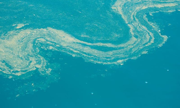
Habitat availability and biophysical factors such as water depth, light availability and turbidity are important determinants of coastal and marine biodiversity.
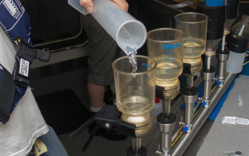
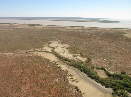
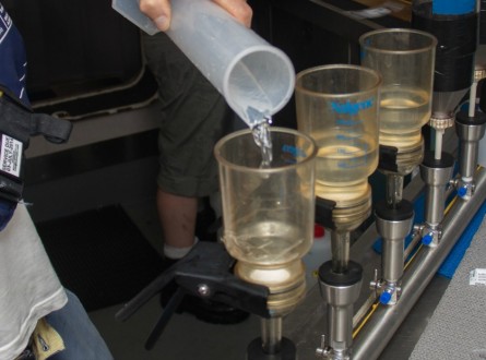
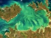
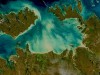
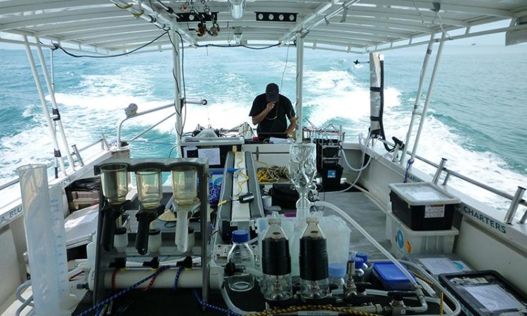
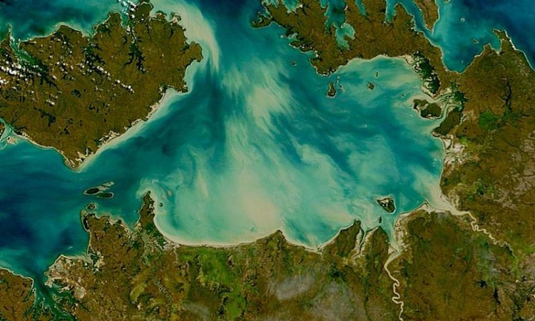
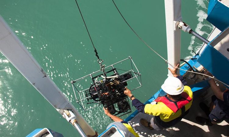
Managing the natural resources of the Alligator Rivers Region in Kakadu National Park relies on long-term monitoring of key biophysical parameters in the wetlands and adjacent seas where little is known about biodiversity and ecosystem processes. Remote sensing provides a cost-effective monitoring and assessment tool in this data-sparse region, allowing the detection of changes across habitats, and trends in coastal water quality.
Recent advances in satellite technologies offer improved spectral and spatial resolution, so it’s now possible to produce quantitative vegetation maps that show far more detail than was previously possible using satellite imagery. By overlaying multiple sources of satellite and airborne imagery including ground measurements such as reflected light, texture, and ground elevation, our researchers were able to identify vegetation communities much more accurately.
A second aspect of the project was estimating water quality using remote sensing of water colour in the coastal zone. Advanced mapping techniques were used to derive information about turbidity, chlorophyll, dissolved organic materials and light availability at the sea bed on a daily basis. A time series (2002-2012) of this data was created to make inferences about seasonal changes, ecological health and biodiversity.
Water quality sampling during field trips allowed researchers to calibrate and test the mapping techniques. To accurately detect changes over time, the team developed methods that enable images collected under different atmospheric conditions, seasons and with different equipment to be reliably compared. Vegetation mapping was calibrated and tested against information collected as part of other Northern Australia Hub projects. The vegetation community maps were also compared with all existing mapping for the region.
The researchers worked in the wetland, waterway and coastal regions of the Alligator Rivers Region within Kakadu National Park and the adjoining Van Diemen Gulf region of northern Australia. The techniques used can be applied in other regions.
The project was undertaken by scientists from CSIRO:
with the support of Traditional Owners and Parks Australia. The team was led by Dr Thomas Schroeder.
Project Leader
Dr Thomas Schroeder
CSIRO Oceans & Atmosphere Flagship
Aquatic Remote Sensing
E: [email protected]